

Monitoring Earth’s Changing Climate
The information we get about our Earth from space photos is very important. According to the latest data released on 17 August 2026 by NASA and space observatories, the impact of the huge wildfires burning in the Pacific Northwest region of North America can be seen very clearly from space.
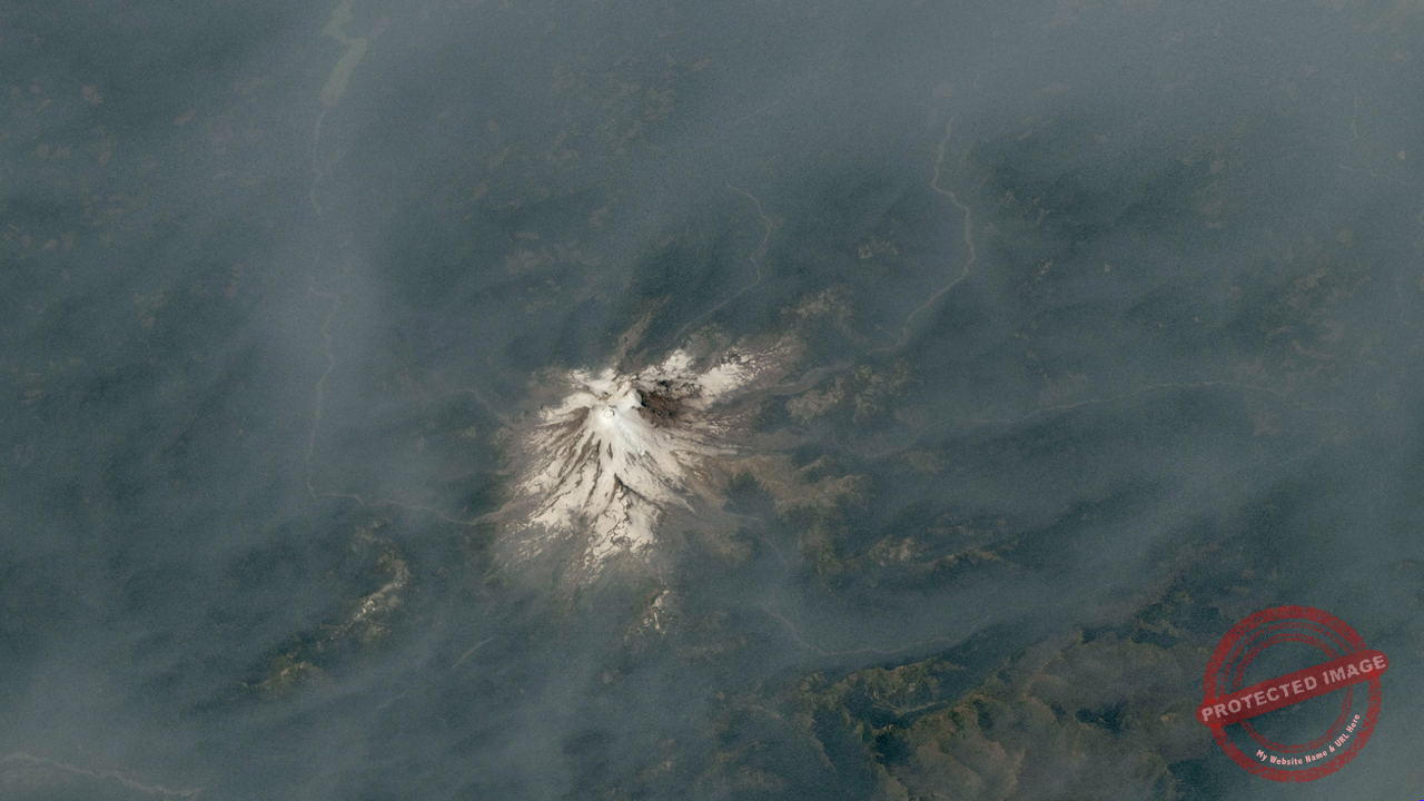
Space photos confirm that the heavy smoke and ash clouds from these wildfires have covered thousands of mountain ranges, as well as a number of well-known volcanoes. This is a signal that shows the whole world how serious climate change is.
If you are interested in astronomy and space exploration, visit the Tharu Ahasa home page for more information like this.


Wildfire Smoke Settling Over Volcanoes
The smoke from the wildfires sweeping through the forests of North America rises several kilometres into the sky. Space photos show this thick smoke drifting across the giant mountain ranges of the Pacific Northwest.
Volcanoes are geologically very sensitive regions. Yet they are now being covered by the smoke of a natural disaster, which has drawn the close attention of environmentalists. This scene shows just how helpful space technology is for capturing changes happening on Earth’s surface.
Scientific Facts Revealed by Space Photos
To understand the real situation, scientists use satellite technology. With these space photos, they can closely observe the density of the smoke, the quality of the atmosphere and wind patterns.
- An increase in the amount of carbon released by wildfires.
- Less sunlight reaching Earth’s surface because of the smoke.
- Sudden changes in temperature in volcanic regions.
By analysing all this data, local agencies can draw up the plans needed to bring wildfires under control. For more details, you can visit the original Space.com source.
The Importance of Space Photos
Space photos help us understand not only Earth, but even the conditions on other planets in the universe. By looking at Earth, our home, from the outside, we can clearly see how fragile it is.
In the future, the world’s leading space agencies are working to identify climate impacts early through more space photos like these. This is a remarkable meeting of technology and environmental science.


Conclusion
Wildfires and natural disasters have become a threat to the survival of Earth. Space photos show us how essential it is to protect nature. Every photo gives us a message. Understanding it correctly is the responsibility of humankind.
Join Tharu Ahasa and learn more about the wonders of space. We will keep bringing you the latest astronomy news.